Setup geofence
To ensure safety, a geofence polygon and a height limit can be defined for each mission that is uploaded later to all drones. If show trajectories are loaded, the geofence can be calculated automatically using the Setup geofence checklist entry popup window (which opens the "Geofence" tab of the Safety widget).
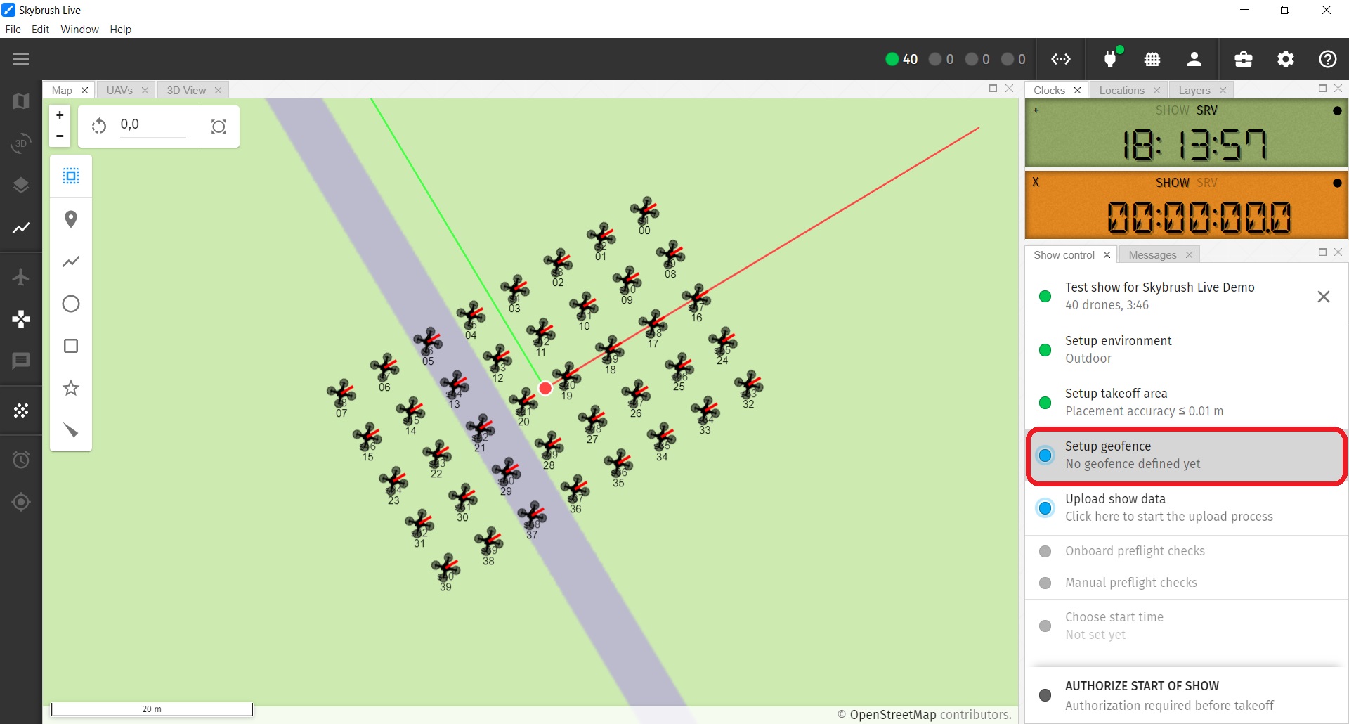
If the geofence is created successfully, it should appear on the map as a polygon with a thick red dashed line by default.