Layers
Objects on the Map are organized onto layers. The Layers panel is responsible for adding new layers or removing existing ones, changing the order of layers or adjusting layer parameters.
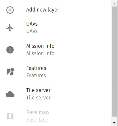
The Layers panel lists the currently active layers in an order as they appear on the map (top of list is also the top layer on the map). Push the Add new layer button to add a new layer to the beginning of the list. Click on any individual layer to change its properties. To change a layer’s position in the layer order, push the triangular arrows at the bottom of the layer property window.
Details on the currently available layer types are listed below.
Base layer
Select the source of the map tiles as the base map.
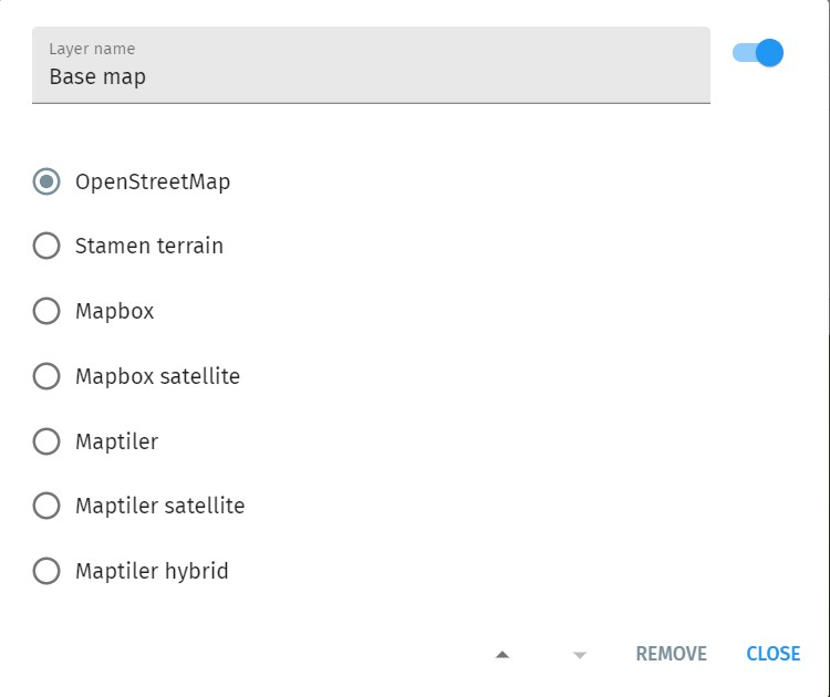
The default installation of Skybrush Live includes only free base maps to avoid licensing issues; contact us if you would like to use a map provider that has licensing restrictions. We can make additional map providers available for you after signing a statement that you understand the licensing restrictions and you are compliant with the licensing requirements of the map provider.
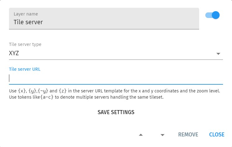
Tile server
Select a custom WMS, XYZ or TileCache tile server for your map tiles.
UAVs
Show drones (UAVs).
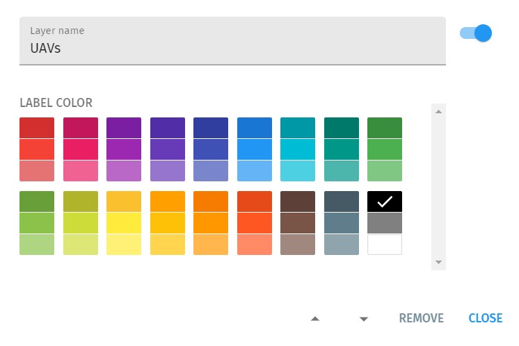
Since map terrain color is not known in advance, you can also change UAV label colors here to enhance visibility.
UAV trace
Show the recent trajectory of UAVs as a tail/trace.
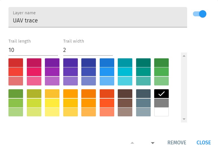
Since map terrain color is not known in advance, you can also change UAV trace colors here to enhance visibility.
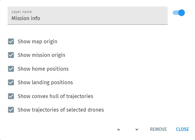
Mission info
Show map origin and orientation, individual takeoff and landing positions, assigned mission trajectories or the convex hull of all mission trajectories.
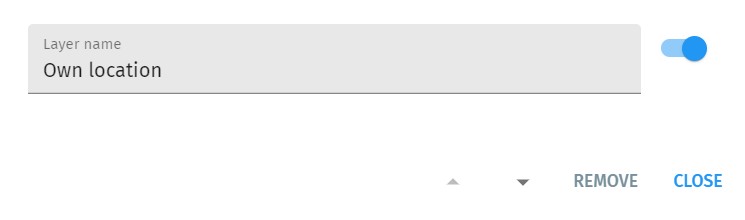
Own location
Show approximate location of the computer running Skybrush Live (OS-level geolocation service needed).