RTK status
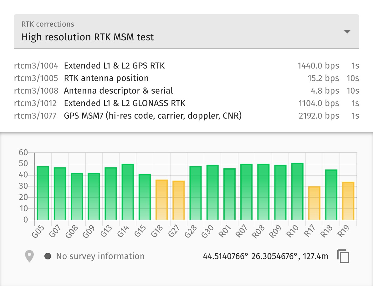
The RTK status dialog shows details of the RTK correction data coming from the selected base station towards the UAVs. You can check the visibility / signal strength of individual satellites and see which ones are used for RTK correction. You also get some statistics on the different correction messages sent to the UAVs.

When the RTK source is a local base station, it starts up automatically in surveying mode to find out its own location before transmitting the correction signals.
You can setup the minimum length and the required accuracy of surveying at the bottom-left of the dialog. If surveying is in progress or is ready, the actual surveying accuracy is also indicated here.
If surveying is successful or the base station is setup manually, the position of the base station will also be indicated at the bottom-right of the dialog window (you can toggle between ECEF and lat/lon display by clicking on the actual coordinates).
| The currently supported RTK sources with auto-surveying functionality is listed in the Hardware requirements section. |